Enhancing forest disturbance monitoring with ALS data integration
Climate Change
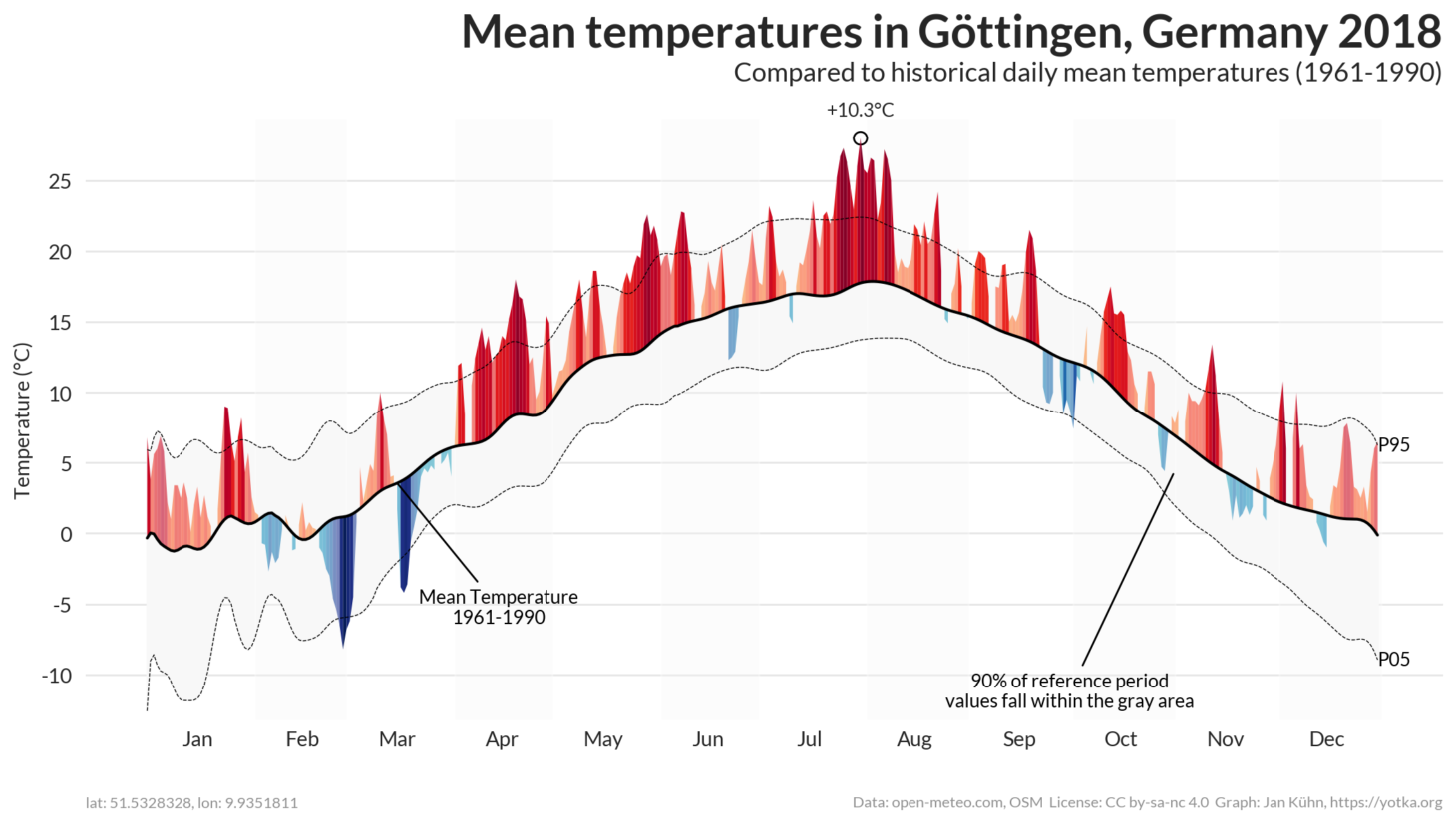
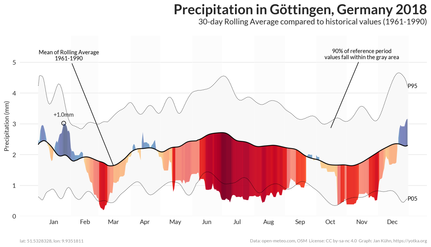
- severe drought stress
Canopy Height Model
- standard product
Retrospective analysis
- delineate basic stand characteristics
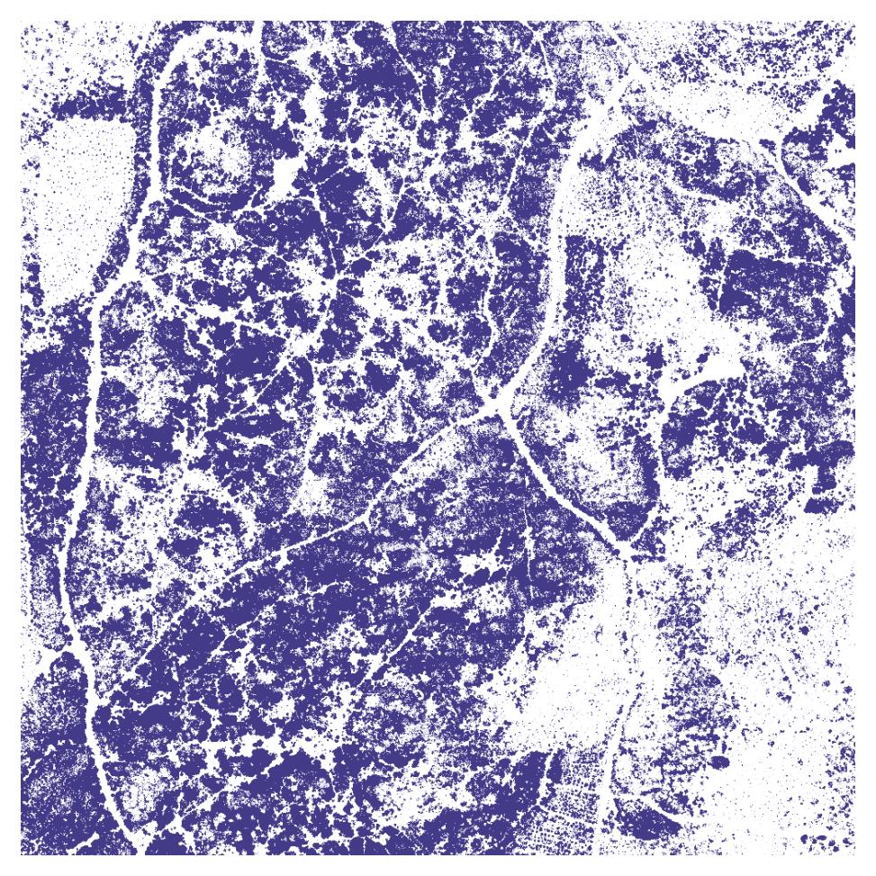
Canopy Gaps
Retrospective analysis
- unstocked forest areas prior to disturbance
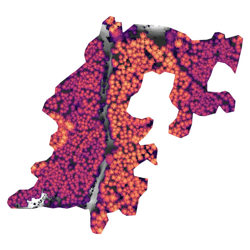
Individual Trees
Retrospective analysis
- disturbance characteristics on the tree level
- size
- number
- composition
- …
Species Group
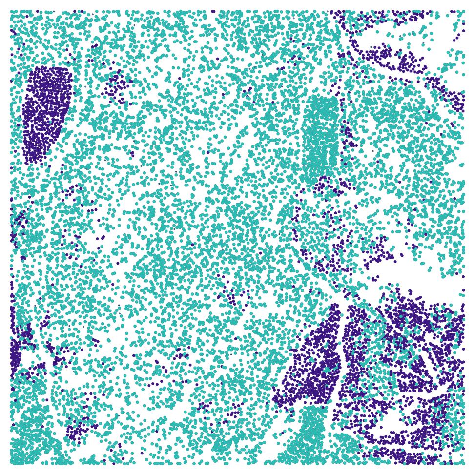
Retrospective analysis
- species group based on
- Spatial point metrics
- Intensity (under certain conditions)
Understory Vegetation
Retrospective analysis
- vertical stand structure
Current Management
- potential regrowth
- prioritize afforestation
Terrain
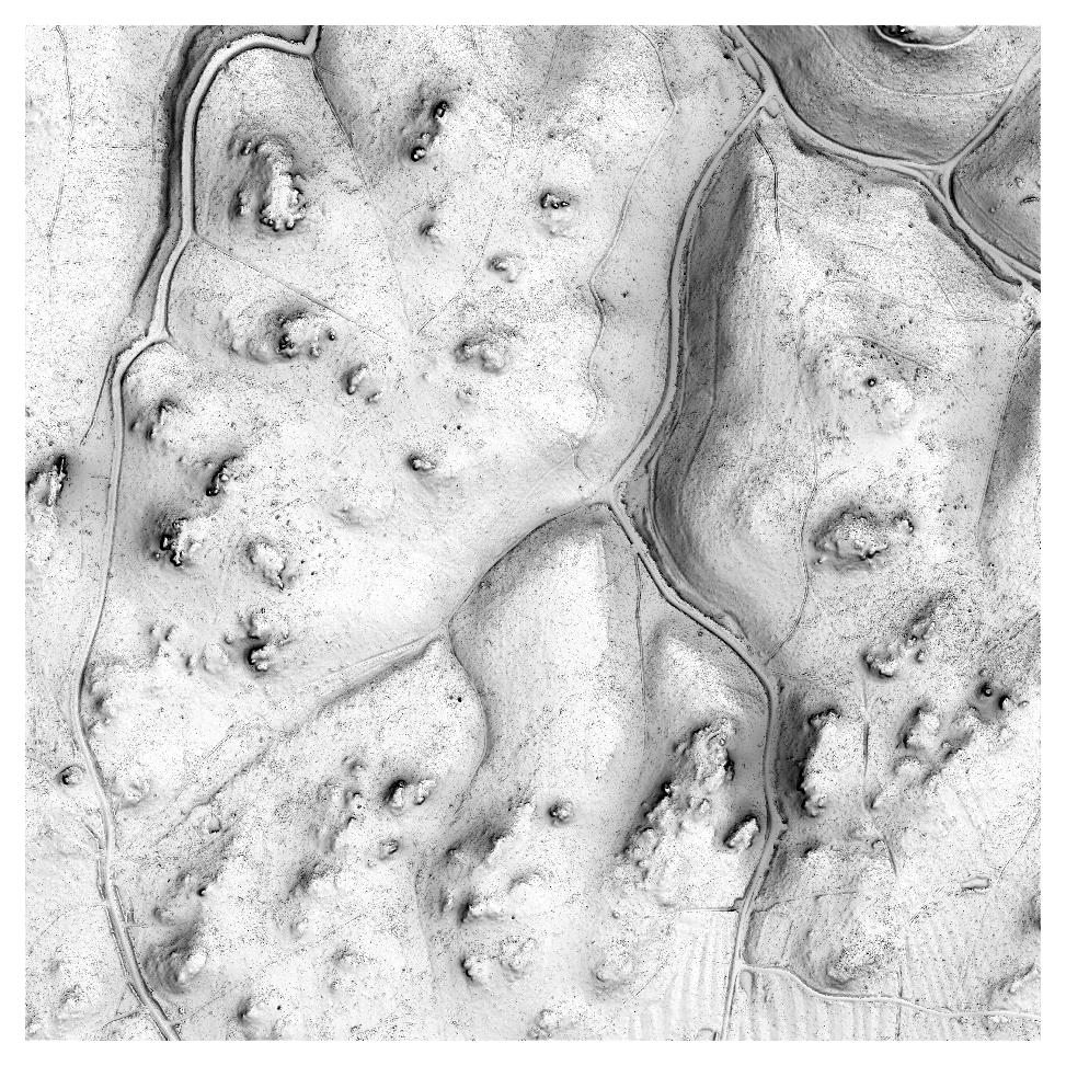
Retrospective analysis
- site conditions
Current Management
- site conditions
- infrastructure network
- trafficability
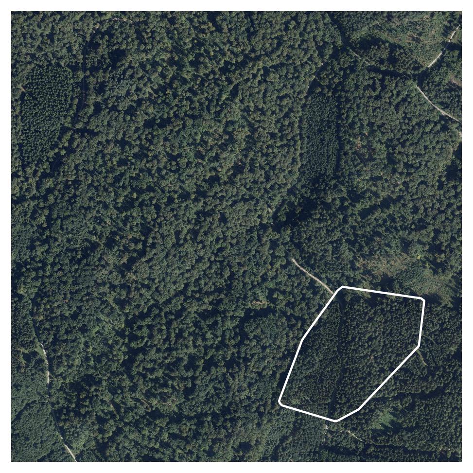
Example
Sample site
- 4.4 ha
- disturbance between 2018 and 2021
- by windthrow / bark beetle
- detected with Sentinel-2
Example - Volume

Retrospective analysis
- 853 trees
- 104 deciduous
- 749 evergreen
- 196 trees/ha
- 27.28 m avg. height
- 0.9 m³ avg. volume
- 851 m³ volume
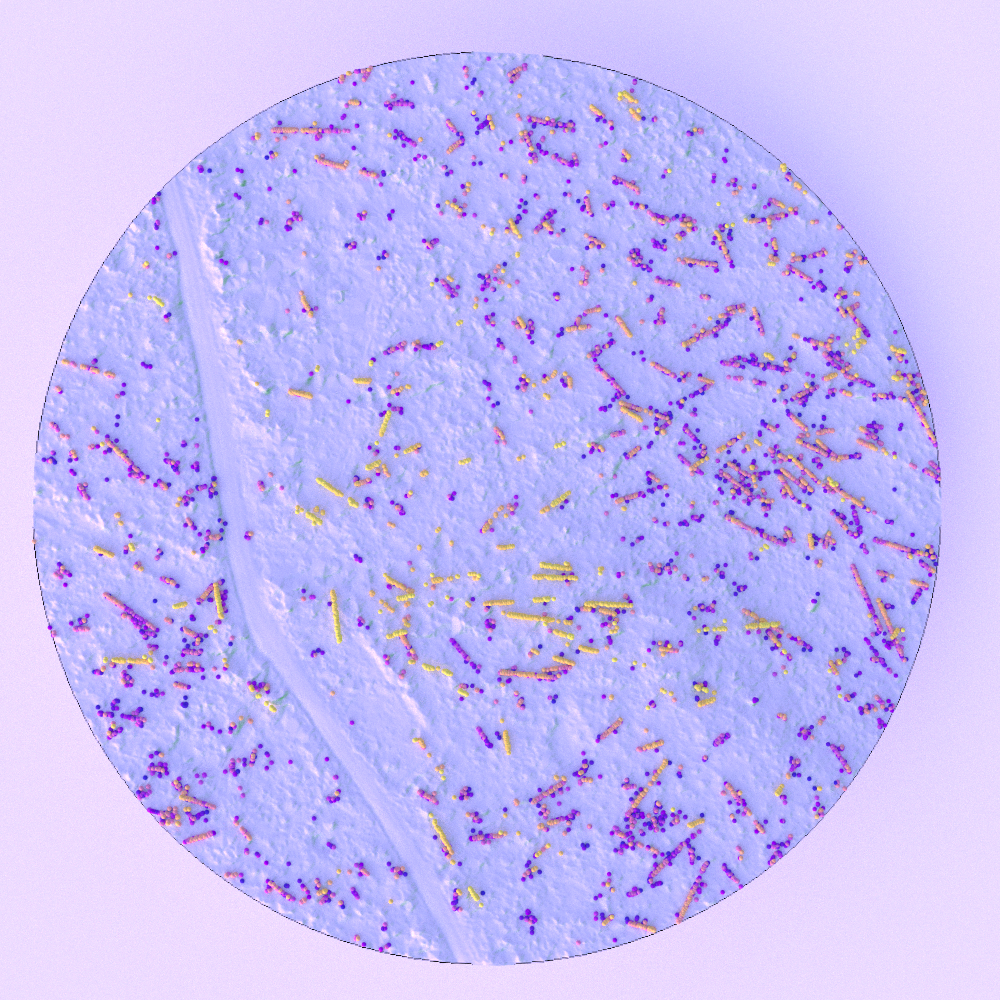
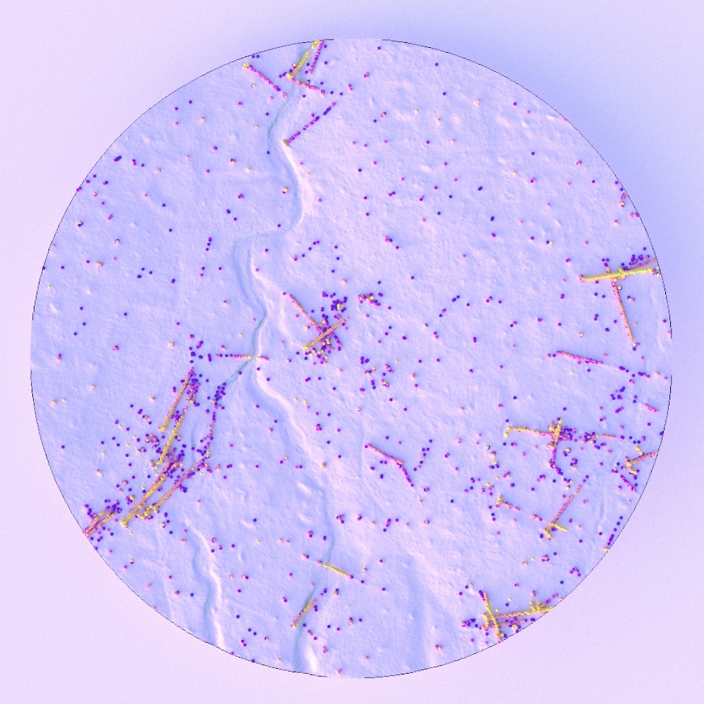
Example - Trafficability
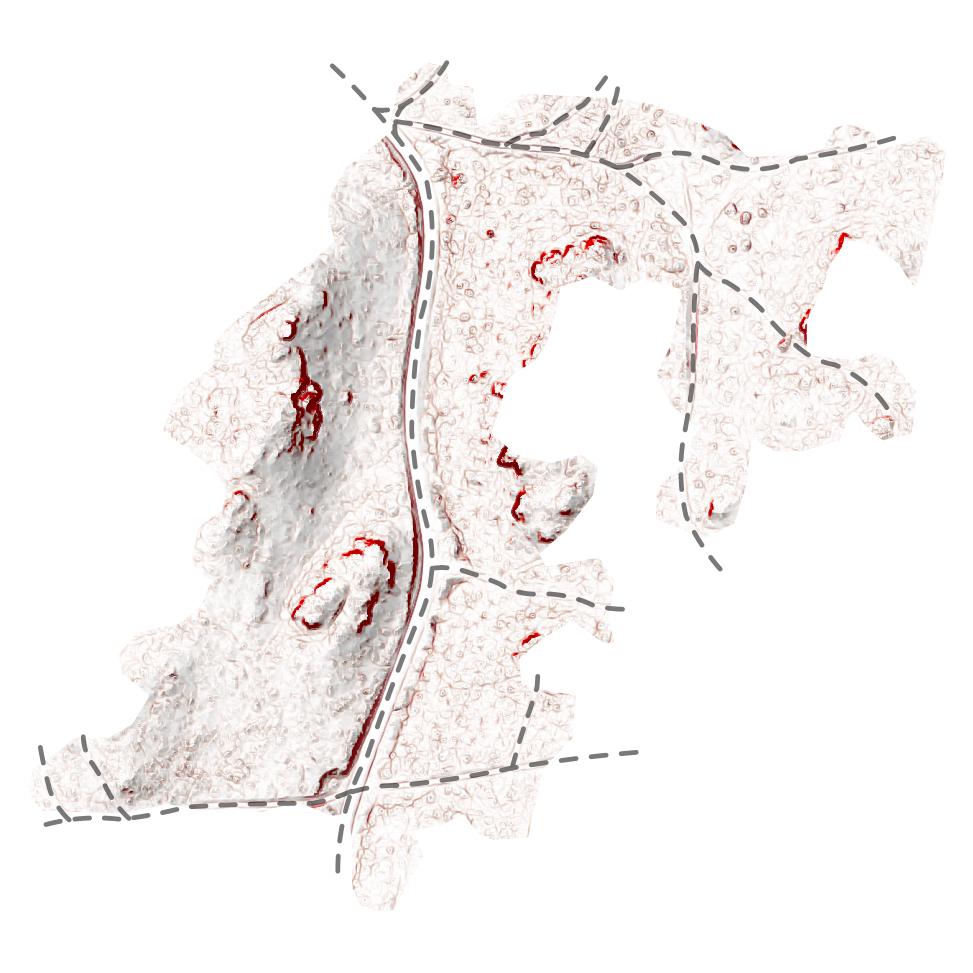
Current Management
- 254 m forest road (58 m/ha)
- 768 m skid tracks (176 m/ha)
- terrain obstacles
Example - Site index
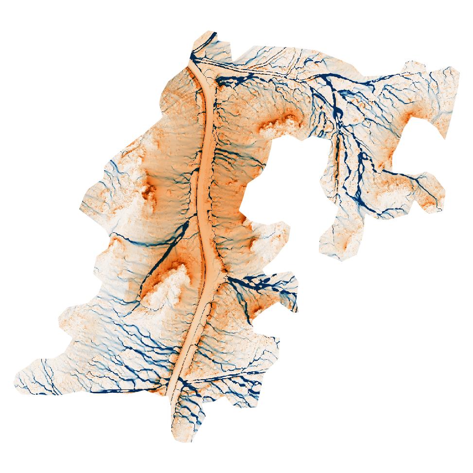
Retrospective analysis / Current Management
- wetness
- solar exposure
Post-Disturbance

Retrospective analysis
- disturbance evaluation
Current Management
- existing regrowth
- potential seeding trees
Processed
- operation evaluation
- skid trails (FSC-conform?)
- wood piles
Post-Disturbance

Retrospective analysis
- disturbance evaluation
- operation evaluation
- skid trails
- wood piles
Current Management
- existing regrowth
- potential seeding trees
Unprocessed
- log detection
- operation planning
- skid trails
Post-Disturbance

Retrospective analysis
- disturbance evaluation
- operation evaluation
- skid trails
- wood piles
- log detection
Current Management
- existing regrowth
- potential seeding trees
- operation planning
- skid trails
- trafficability
Multitemporal Data

- rarely available (in desired period)
- pre- / post-disturbance information
plus
- direct change detection